Housing and Support Buildings
Cooks Bay, Long Island, HD Kodiak
Home  |  Kodiak


The military installed a large support area at the south end of Cooks Bay. Facilities here included four multistory barracks, a mess hall, post exchange and a T-shaped dock extending more than 200 feet out from shore.

Little but the concrete foundations remain; tombstone-like rows of support columns stand, a mute testament to the bustling activities of earlier times.


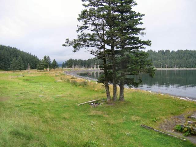
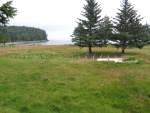
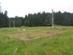
Looking northwest; the barracks and mess hall where near the trees on the left. The corner of the power plant can be seen on the right.
August 2005
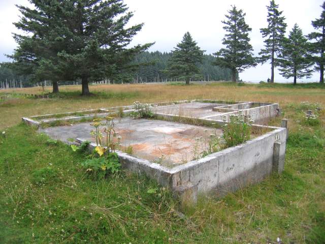
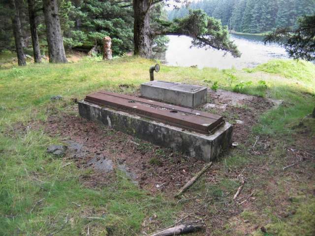
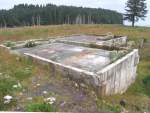
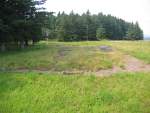
Looking down on the power plant.
August 2005
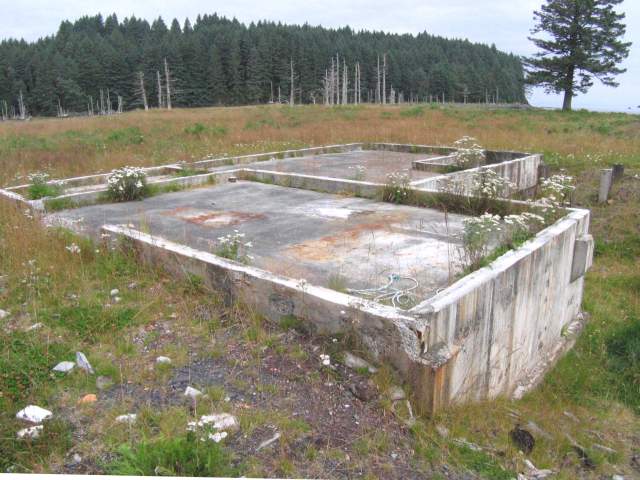
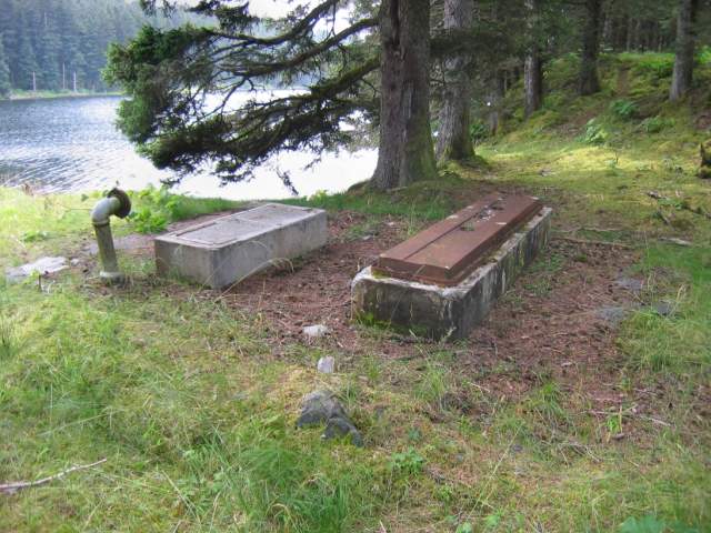
The power plant, looking southeast.
August 2005
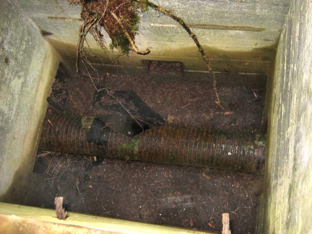
The latrine section of one of the barracks.
August 2005
The housing section of the barracks has disappeared.
August 2005
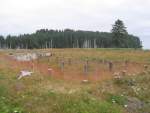
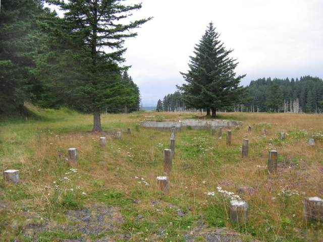
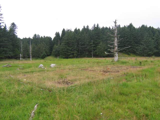
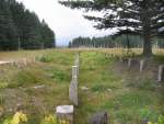
Looking north at another barracks site.
August 2005
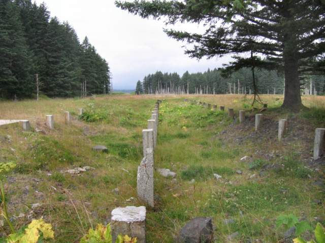
The latrine sections of all four barracks were identical.
August 2005
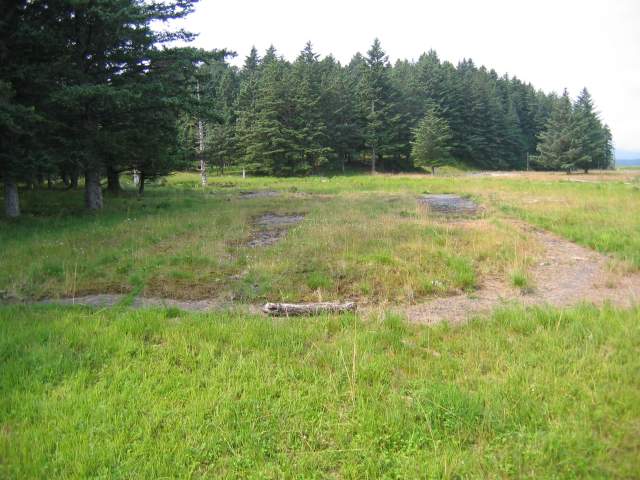
Looking down at the mess hall site.
August 2005
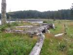
Rows of support columns from the mess hall.
August 2005
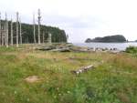
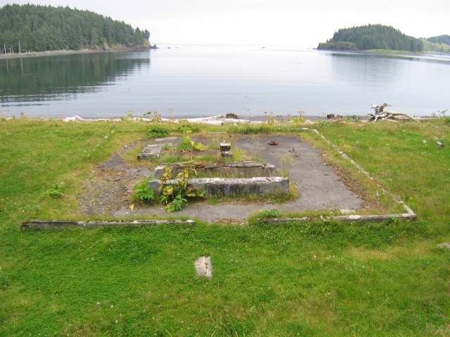
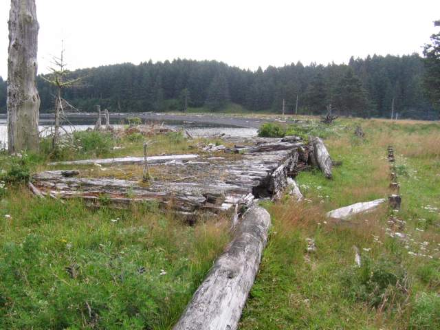
A building site, possibly the post exchange, near the water.
August 2005
A loading dock abutted this building, which may have been the post exchange.
August 2005
The site of the "Supply" building.
August 2005
Several large concrete pads are not shown on this 1944 map.
August 2005
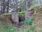
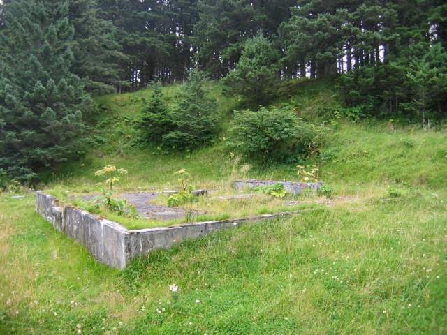
A small concrete building is set into the hillside near the mess hall.
August 2005
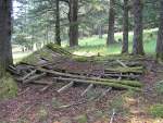
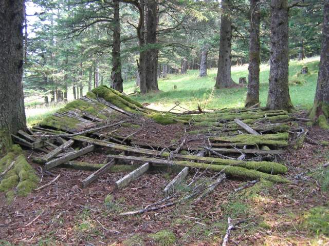
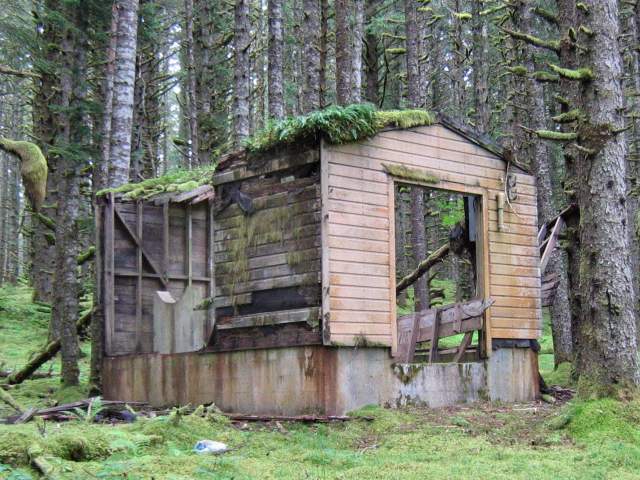
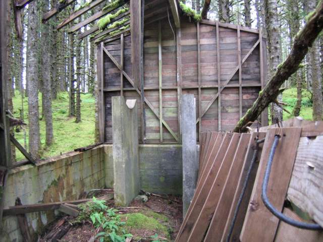
One of several collapsed huts in the area.
August 2005


Water Supply
A pumping station just south of Cooks Bay supplied water from Lake Dolgoi to Battery Const. #296 at Castle Bluff, and presumably the Cooks Bay area as well. A small building equidistant between Castle Bluff and Lake Dolgoi may also have been part of the system, as a large wood stave pipe (possibly the supply line to Castle Bluff) passes through it.


The Lake Dolgoi pumping station.
August 2005
A different view of the pumping station.
August 2005
The building equidistant to Lake Dolgoi and Castle Bluff.
August 2005
Inside the equidistant building.
August 2005
Detail of wood stave pipe running under the equidistant building.
August 2005


Documents
Detail map of Cooks Bay area.October 1944


Home  |  Kodiak

Best viewed using Internet Explorer 6.0 at 800 X 850 with 96 PPI
Please make sure javascript is enabled for proper viewing.
Last modified on Tuesday, 06/13/06, at 03:45 PM
copyright © 2003 - 2007 Andy Rohde
Conditions of use and Disclaimers