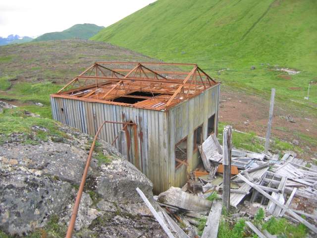
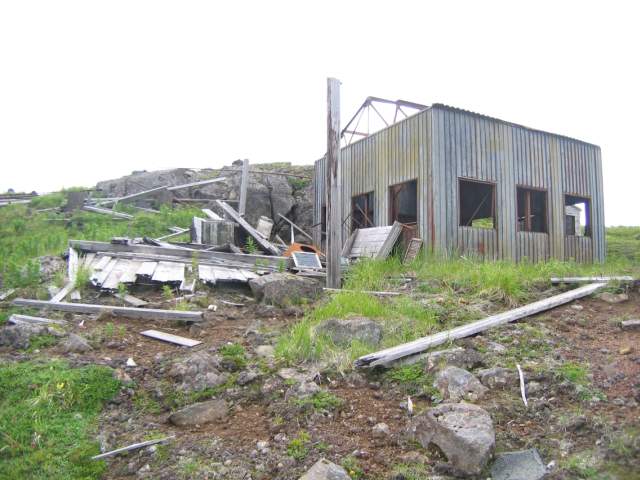
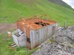
| Looking southeast.
July 2004 |
|
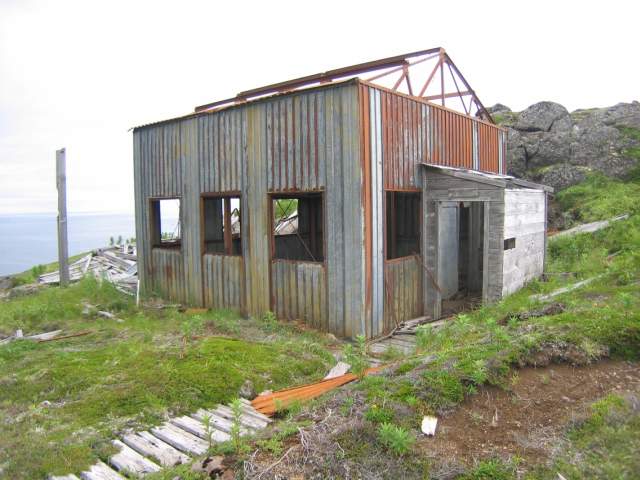
| Looking northwest at the transmitter building.
July 2004 |
|

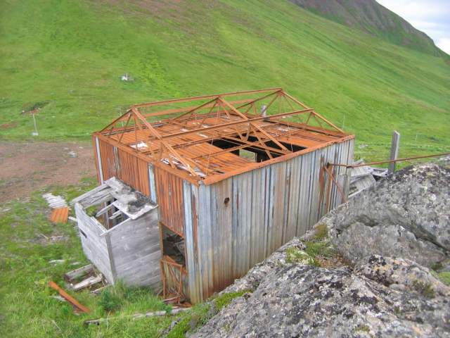
| Looking northeast. Note the wooden walkway.
July 2004 |
|
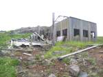
| Looking southeast at the transmitter building.
July 2004 |
|
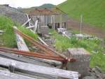
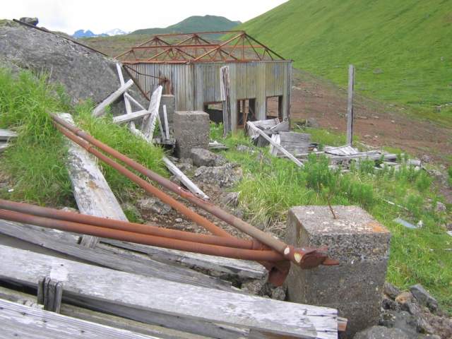
| A series of concrete piers supported the conduits running from the transmitter building to the antenna.
July 2004 |
|
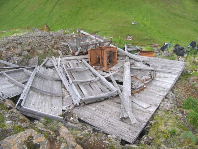
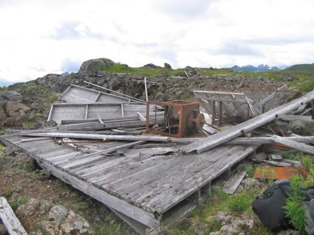
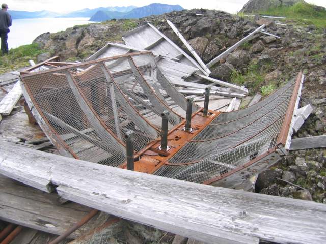
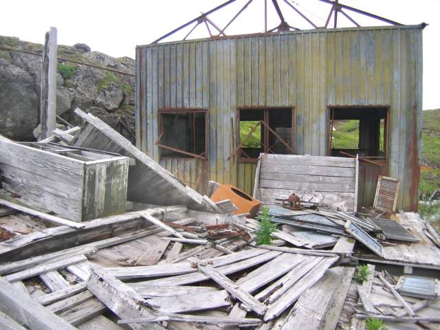
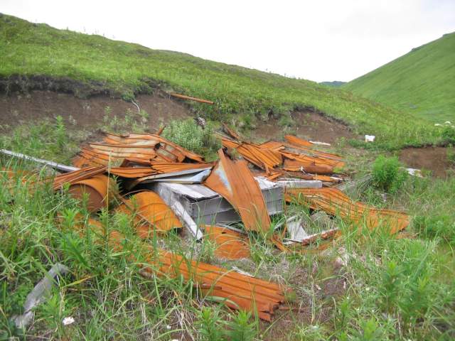
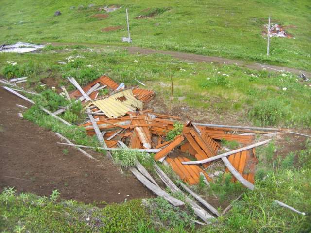
| Collapsed wooden structure on the north side of the building.
July 2004 |
|
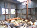
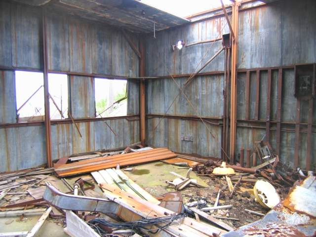
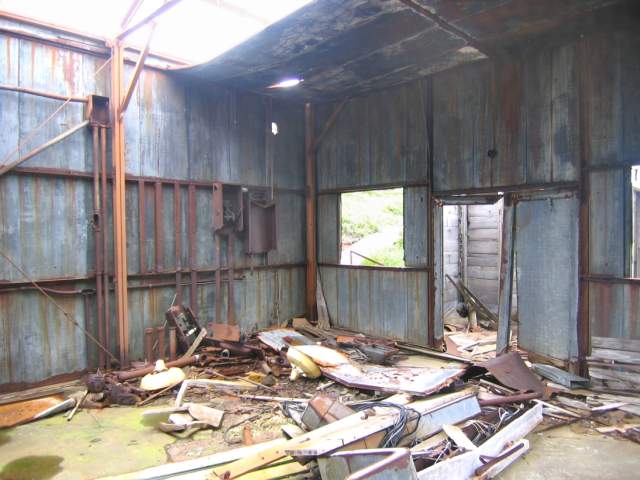
| Inside the transmitter building, looking northeast.
July 2004 |
|
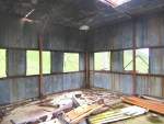
| Looking southeast.
July 2004 |
|
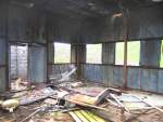
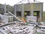
| The northwest corner.
July 2004 |
|
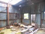
| Looking southwest in the transmitter building.
July 2004 |
|
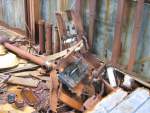
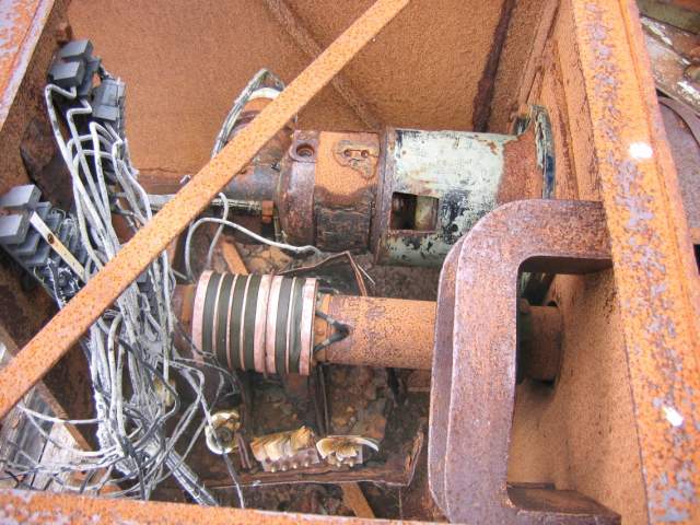
| Detail of old electrical equipment.
July 2004 |
|
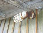
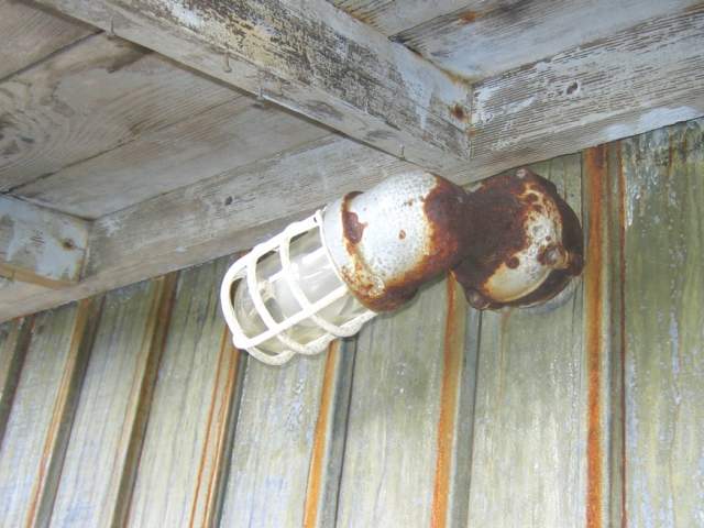
| Detail of light fixture in the entry area.
July 2004 |
|
|
|