Fort Casey, HD Puget Sound
|
Fort Casey, HD Puget Sound |
|
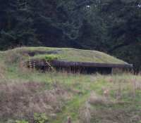
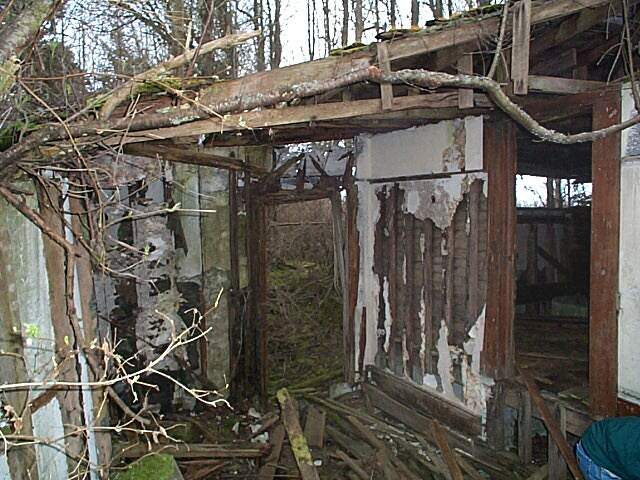
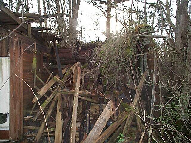
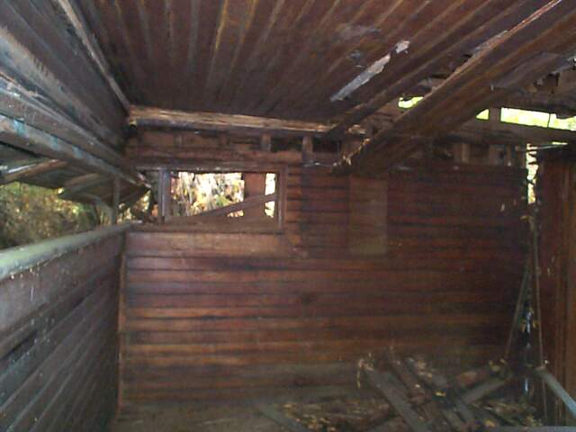
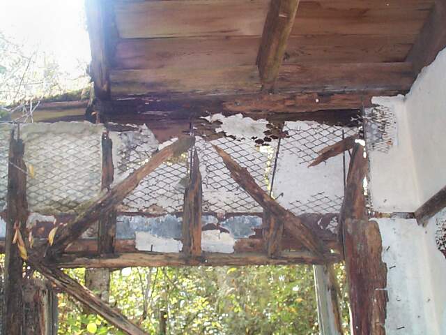
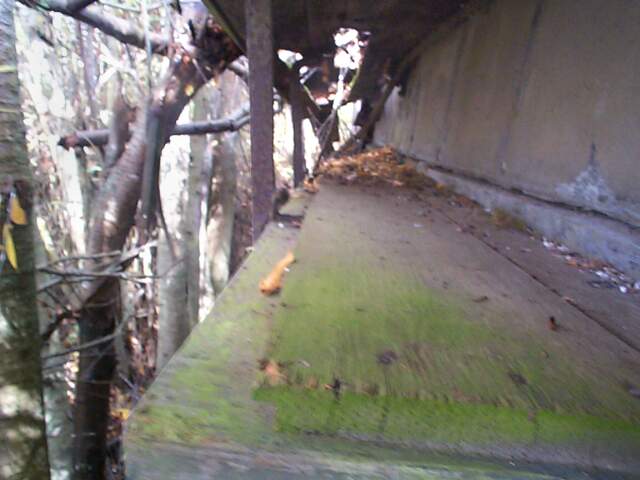
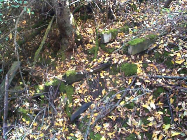
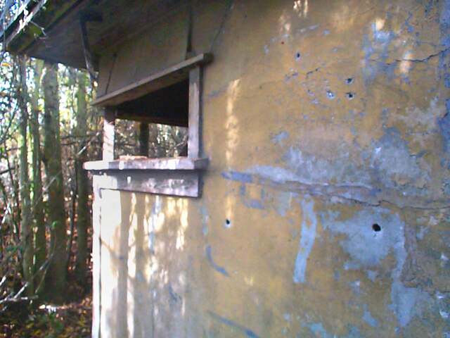
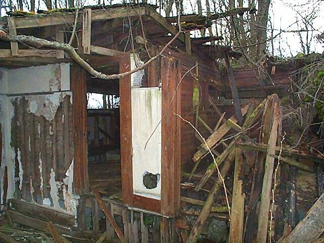
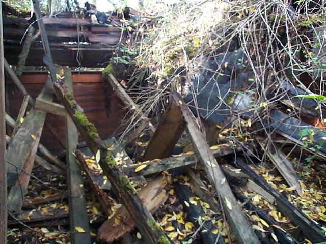
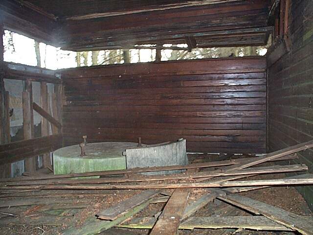
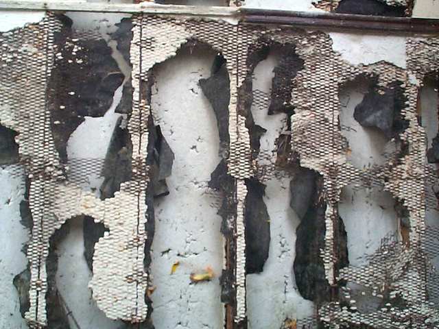
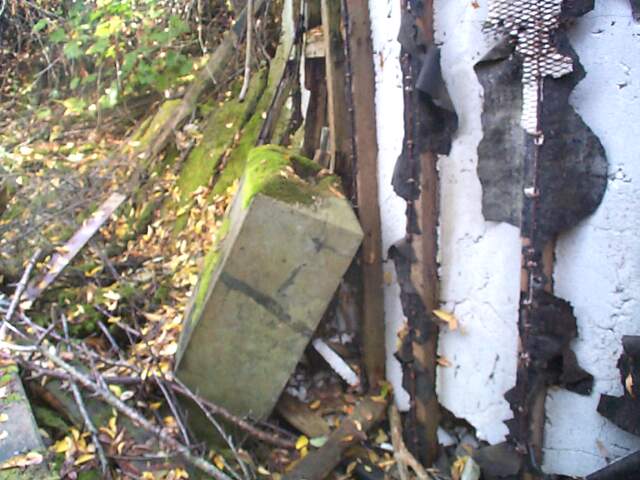
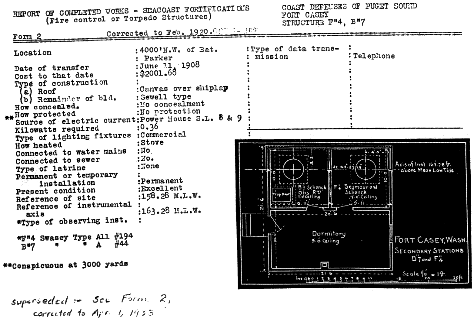
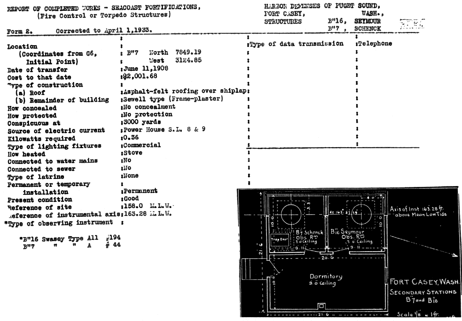
The fire control station F" 4 B" 7 was built in 1908 in the Sewell style, which used a wood frame covered with metal mesh and plaster. It is one of the few Sewell buildings in Puget Sound that aren't just a pile of rubble now. The station housed two observation rooms and a dormitory, The southern observation room was a secondary for battery Schenck and the northern one was the secondary command post for the 4th fire command, which included both mortar batteries. F" 4 was also used as the controller booth for searchlight #9 and the station drew its power from the searchlight power plant. Most of the roof has fallen in, and the northeast corner is gone, but the southern side is still in pretty good shape. |
|
|
| Form 2 | February, 1920 |
| Form 2 | April 1, 1933 |
| The station is at the northern end of Fort Casey and is on land owned by Seattle Pacific University. Permission should be obtained at their Camp Casey office prior to visiting the station. After that, head up hill past their campground and past the gate by btry Parker. Keep going until you get to another gate at a fork in the road, then take the trail to the right, If you went strait past the gate you'd come to a private residence. Cross the drive way and keep heading north past the old rifle range. The trail should turn to the west and then sharply to the east. At this corner there are some beer cans to the west of the trail and some old bricks in it. The easiest way to reach the station is to head back a few feet and go west under the pine trees, go in about 25-35 feet and turn right. If the trail goes under some power lines you've gone to far. I took a GPS fix for the site at: N48 10 43.7 W122 41 14.8 using the NAD27 central datum. |
| Main Puget Sound Page |
| Home |
