Dutch Harbor Map
Home
|
Dutch Harbor
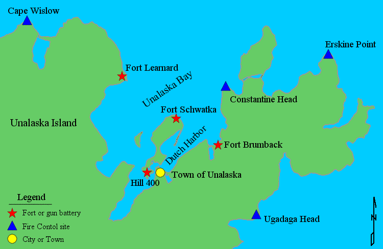
This is a map of the Dutch Harbor area showing selected Coast Artillery locations. For detailed maps of particular locations, see the
1944 B Annex exhibits.
Home
|
Dutch Harbor
Best viewed using Internet Explorer 6.0 at 800 X 850 with 96 PPI
Please make sure javascript is enabled for proper viewing.
Last modified on Thursday, 04/20/06, at 11:47 PM
copyright ©
2003 - 2007
Andy Rohde
Conditions of use and Disclaimers